Garmin’s Guided Visual Approaches database has more than doubled since its 2025 launch and now includes 64 approaches at 48 airports, developed with instrument procedure designer Hughes Aerospace. The latest batch of 18 approaches, which Garmin released in July, added 13 airports, including Las Vegas Harry Reid International Airport (KLAS), San Francisco Bay Oakland International Airport (KOAK), and Chicago DuPage Airport (KDPA).
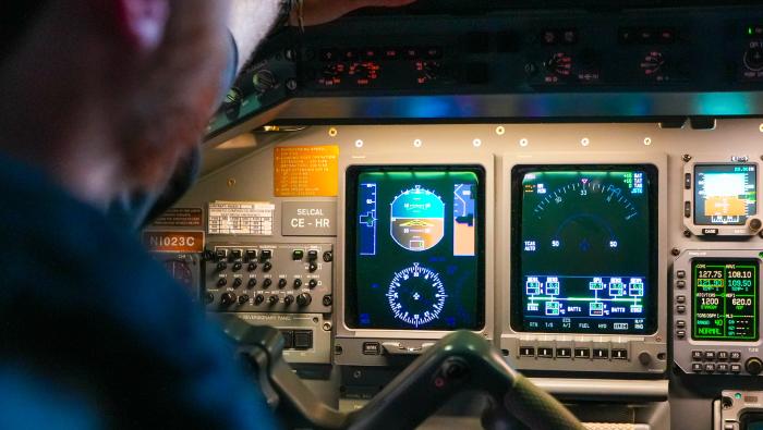
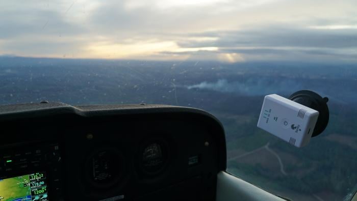
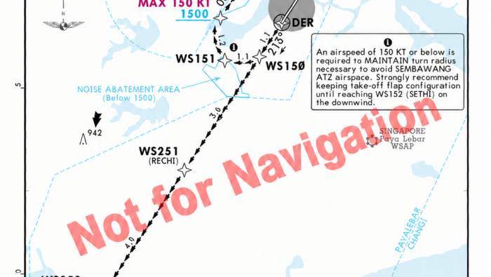
Sold as a Garmin database subscription, the “RNAV G” procedures provide lateral and vertical guidance on visual approaches to airports surrounded by terrain, obstacles, or bright city lights at night. According to the companies, the guidance helps crews in faster turbine aircraft fly stabilized approaches while keeping their attention outside the airplane and on the runway.
Pilots can load the procedures into Garmin avionics with WAAS-capable GPS receivers and radius-to-fix capability, then fly them coupled to the autopilot on supported systems, and georeferenced charts are available on the avionics and in the Garmin Pilot app for Apple devices.
“These procedures address real operational constraints at specific airports and give pilots an additional tool for more consistent visual approaches,” said Hughes Aerospace CEO Chris Baur.
Garmin introduced the database in July 2025 with 31 approaches at 25 airports, then added 15 more approaches in March. Hughes, which is based in The Woodlands, Texas, also designs instrument procedures for helicopter operations. The company provides flight inspection and IFR certification support to airports and heliports as well.
In this article
More In Avionics