Garmin Expands SmartCharts Reach to Canada and Mexico
New release adds missed approach climb gradient table and climb gradient values on departure procedures
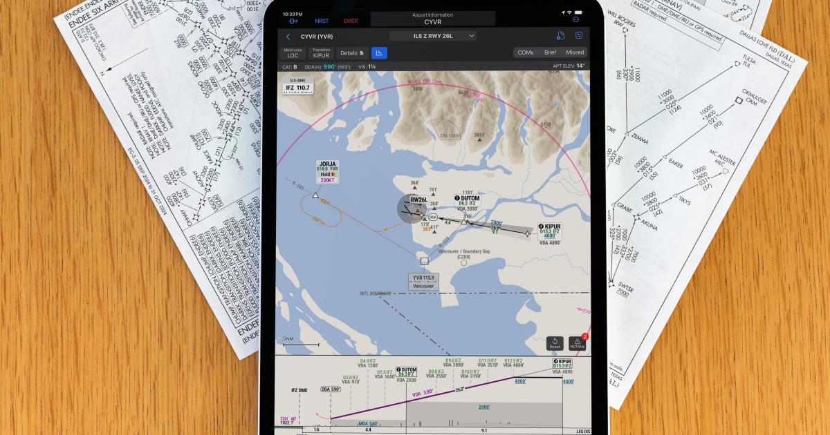
Garmin has expanded SmartCharts coverage to Canada and Mexico for Premium-level subscribers of Garmin Pilot (web and Apple iOS app). The move makes SmartCharts available in the U.S., Canada, and Mexico.
SmartCharts offers dynamic, data-driven depictions of terminal procedures and airport diagrams, optimizing the way information is displayed on the charts, allowing pilots to see the information they need when they need it and minimizing distracting, non-pertinent information. By selecting aircraft type, transition fixes, runway, and other attributes, the pilot sees only the information needed, such as routing, fixes, and crossing restrictions for the selected or expected procedure.
In this article
More In Avionics