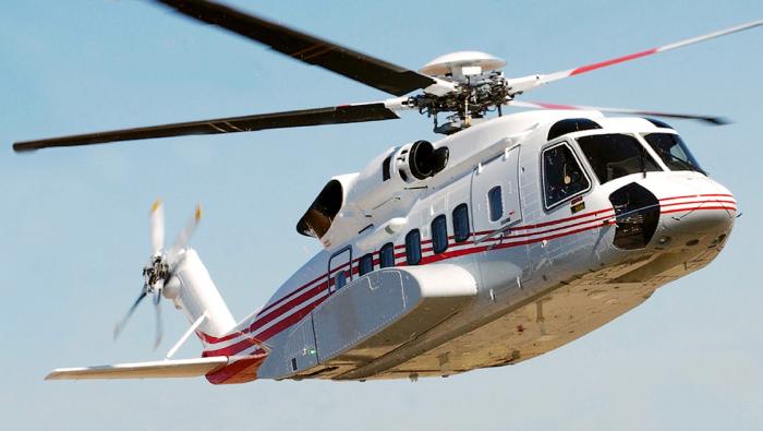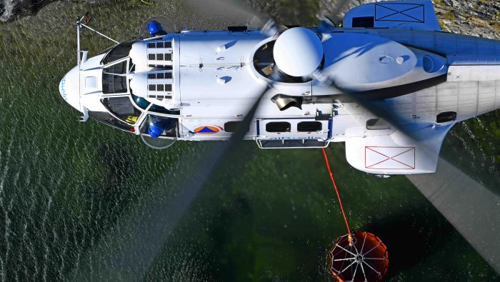

In a bid to more effectively combat the impact of bushfires in terms of threat to life and property, and disruption to power supplies, Australian utility company Powercor started using helicopters for aerial inspection work three years ago. With a Bell 407GXi deployed to track large areas of Western Victoria, the company has become far more effective at cutting back vegetation to reduce the risk of fire spreading, especially where it intersects with about 50,000 miles of powerlines.
Airborne lidar radar technology is used to gather data that generates 3D models to show Powercor exactly where vegetation needs to be cut and allows the company to track growth to plan ahead. Before the company invested in its helicopters in 2021, this task was undertaken on the ground by contractors who sent staff out in cars across difficult terrain and used binoculars to assess risks.
In this article
More In Rotorcraft