As the crow flies, the distance between Baltimore and Newark is only about 160 mi. But during the height of thunderstorm season, when lines of towering cumulus march eastward–often erupting into wide, impenetrable walls of rain, turbulence and lightning–the distance can easily double, while travel times can triple. No one understood this better than John Costello as he taxied an ERJ-145 from the gate at Baltimore on a summer afternoon to join the line of departures waiting for that short trip northeastward. But then Center issued a ground stop.
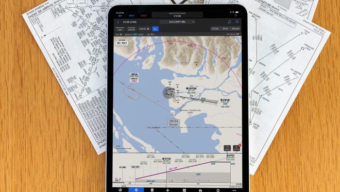
Costello, a captain for a national airline, pulled his trusty personal digital assistant (PDA) from his flight bag, not to make notes to dispatch about the delay, but to verify what he’d heard about the weather. Connecting to www.weatherclip.com, a real-time weather information service he developed, Costello reviewed current Nexrad images, TAFs, Pireps and Metars for the route. The weather indeed looked bad, but while checking the FAA’s systems command center from his PDA, Costello also discovered that the ground stop did not apply to aircraft headed for Newark. Within 30 sec, he’d verified the state of the weather and ATC delays from the cockpit. He informed BWI ground control about the error and they quickly released his flight. Without access to weather data from the cockpit, the regional jet could well have remained a takeoff-line prisoner for much longer.
More In Avionics