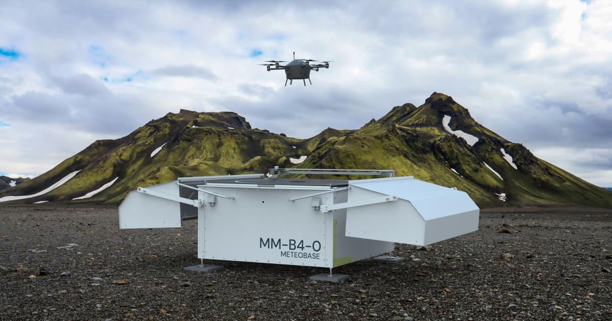
Swiss weather intelligence firm Meteomatics and the U.S. National Oceanic and Atmospheric Administration (NOAA) are teaming up to improve weather forecasts with the use of small “Meteodrones.” According to Meteomatics, this partnership will enable the first operational uses of routine drone-based weather observations at the National Weather Service.
Meteodrones are designed to gather atmospheric data between 50 and 20,000 feet above ground level, where the U.S. weather-observation network has a significant gap in coverage. Below that altitude, ground-based weather stations provide more than adequate coverage, while higher altitudes are monitored using satellites and weather balloons. According to Meteomatics, the under-measured layer of the atmosphere in between is “where some of the most impactful weather develops.” Closing that data gap could reduce weather-related flight disruptions and cancellations, the company claims.
More In Unmanned Aerial Vehicles