Closing in
0
...
Menu
Search
LATEST
POPULAR
AIRCRAFT FOR SALE
SECTIONS
Business Aviation
Aerospace & Defense
Rotorcraft
General Aviation
FutureFlight
SUSTAINABILITY & ENVIRONMENT
CHANNELS
Aircraft
Maintenance
Avionics
Charter & Fractional
Safety
All Categories
News Archive
Newsletter Archive
MORE
AIN FBO Survey
Airshows & Conventions
Aviation Events
Compliance Countdown
Expert Opinion
In-Depth Reports
Leeham News & Analysis
Print Archives
Videos
Webinars
Whitepapers
ABOUT
About AIN
Our Writers
History
Advertise
Contact Us
Subscribe
LATEST
POPULAR
AIRCRAFT FOR SALE
SECTIONS
ABOUT
Search
Subscribe
Search
Avionics
FAA wants moving maps in more cockpits
Reacting to last summer’s crash of Comair Flight 5191 at Blue Grass Airport in Lexington, Ky.–as well as countless runway incursions and serious on-airport
Share
Post
Share
Print
Copy
Email
By
Stephen Pope
April 30, 2007
More In Avionics
Dynon Adapts Light Sport Avionics for Air eVTOLs
Air One eVTOL will feature customized SkyView HDX avionics
Avionics
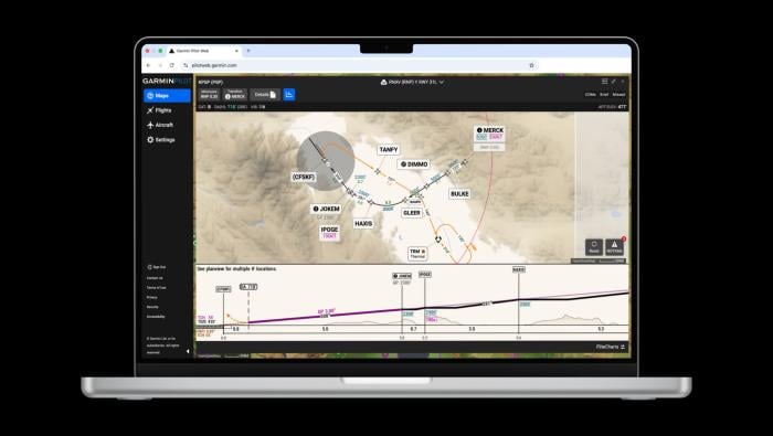
Garmin SmartCharts Now Available on Pilot Web
Procedures simplify view by decluttering unnecessary information
Avionics
Pentastar Gets STC for Gogo LX5 Installs on Gulfstreams
STC covers installation of LX5 on GIV/G450/GV/G550 models
Avionics
Tamarack Aerospace Announces AirConnect IFC for Citations
System includes aircraft-grade cabin Wi-Fi distribution, certified electrical integration
Avionics
Garmin Adds Mexico, Bahamas To FliteCharts, SafeTaxi
Charts available for avionics or EFB app
Avionics
Merlin Introduces Condor Autonomy Platform for Large Freighters
Boston start-up targets freighter conversion market with new offering
Avionics
Iridium To Acquire Aireon in $367M Deal
Transaction combines space-based ADS-B surveillance system with its host satellite network
Avionics
Starr Safety Network Adds Honeywell FGV Approaches
Tool provides guidance for 100 airport runway ends
Avionics