Closing in
0
...
Menu
Search
LATEST
POPULAR
AIRCRAFT FOR SALE
SECTIONS
Business Aviation
Aerospace & Defense
Rotorcraft
General Aviation
FutureFlight
CHANNELS
Aircraft
Maintenance
Avionics
Charter & Fractional
Safety
All Categories
News Archive
Newsletter Archive
MORE
Print Archives
Expert Opinion
In-Depth Reports
Videos
Webinars
Airshows & Conventions
Aviation Events
Compliance Countdown
Whitepapers
ABOUT
About AIN
Our Writers
History
Advertise
Contact Us
Subscribe
LATEST
POPULAR
AIRCRAFT FOR SALE
SECTIONS
ABOUT
Search
Subscribe
Search
Safety
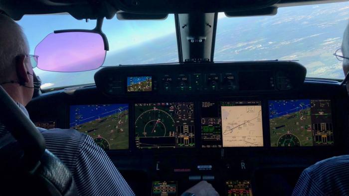
Marinvent display wins U.S. patent
Marinvent, the Canadian research firm, received a U.S.
Share
Post
Share
Print
Copy
Email
By
AIN Staff
• AIN Staff
September 21, 2006
More In Safety
AINsight: LOC-I Is a Killer in Aviation
LOC-I is far and away the top cause of fatal aircraft accidents
Safety
Aeromedical Services Restored to North Dakota Community
Williston Care Flight operates a fleet of Pilatus PC-12s
Safety
Skyryse and Cal Fire To Deploy SkyOS for Firefighting
Simplified control and fly-by-wire envelope protection will enhance mission safety
Safety
Aviation Charities Work To Support Texas Flood Victims
Donated goods and volunteer services are flowing into the impacted area
Safety
FAA Urges Genav Operators To Complete Activity Survey
Survey data underpins safety metrics and policy decisions
Safety
AINsight: Will Secondary Doors Be a Flying Jail Cell?
Flight deck security continues to be an issue and doesn’t seem to acknowledge safety concerns
Safety
Procedural Lapses Lead Nimbl’s Bizav Safety Report
Risk stacking and human error dominate Nimbl’s 2024 analysis
Safety
UK Reports Zero Turbine Bizav Accidents in 2024
One loss-of-control incident involved a Pilatus PC-24 bizjet
Safety